

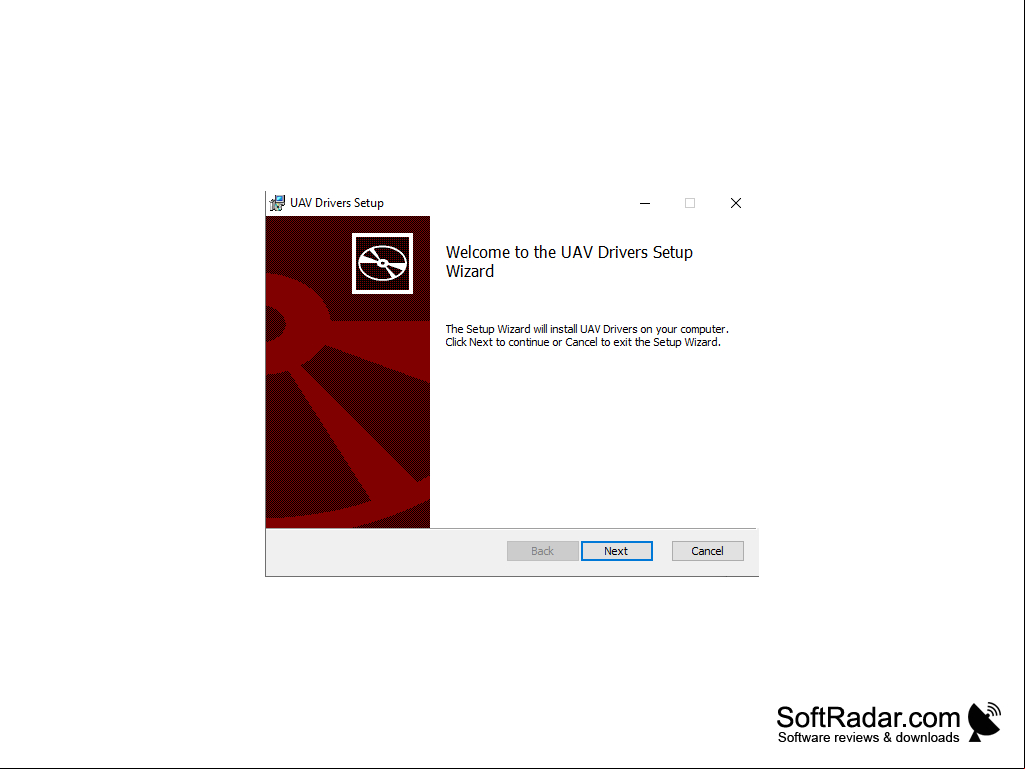
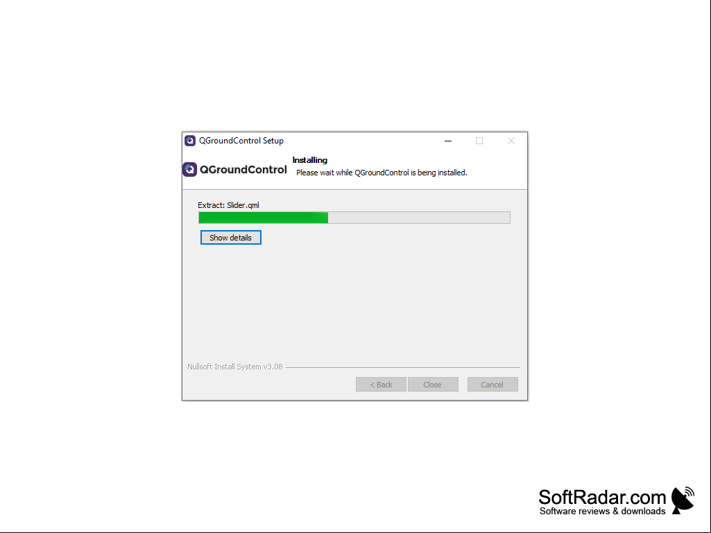
QGroundControl
by QGroundControl Team
QGroundControl is a full-featured ground control station for unmanned vehicles that provides mission planning, control and real-time data analysis.
QGroundControl
QGroundControl is an advanced, full-featured ground station software for unmanned systems. It provides a powerful, yet easy-to-use graphical interface for controlling and monitoring virtually any unmanned vehicle system. QGroundControl is designed to be open source, allowing s to customize, extend, and integrate the software.
QGroundControl offers a wide range of features to help s control and monitor their unmanned vehicle systems.
Flight Planner: QGroundControl's flight planner provides s with an easy-to-use graphical interface for planning and executing autonomous missions. The flight planner can take into terrain, wind, and other environmental factors to ensure optimal mission performance.
Real-Time Telemetry: QGroundControl provides real-time telemetry data for the 's system, allowing for in-depth monitoring and analysis. Detailed information about the system's current state, such as position, attitude, velocity, and power consumption, is available at a glance.
Geofencing: QGroundControl allows s to create virtual boundaries for their unmanned vehicle systems, preventing them from entering dangerous or restricted areas.
Camera Control: QGroundControl provides s with an intuitive interface for controlling their UAV's camera. This allows s to easily adjust the camera's position, zoom, and other settings.
Waypoint Management: QGroundControl makes it easy to create, modify, and delete waypoints. Waypoints can be used to define a flight path, or to trigger certain actions when the UAV reaches a certain point.
3D Visualization: QGroundControl provides a 3D visualization of the 's system, allowing them to easily monitor its position and orientation. This visualization can also be used to plan and test autonomous missions.
Data Logging: QGroundControl can log data from the 's UAV, allowing them to analyze the system's performance over time.
Data Sharing: QGroundControl allows s to easily share their data with other s. This makes it easy to collaborate with other s on missions or to compare performance data.
Vehicle Setup: QGroundControl provides an intuitive interface for setting up the 's UAV. This includes configuring system parameters, calibrating sensors, and setting up the flight controller.
Autopilot Control: QGroundControl provides a graphical interface for controlling the 's UAV's autopilot. This allows s to easily adjust the system's settings, such as the flight mode, rate of climb, and maximum altitude.
Ground Control Station: QGroundControl provides a powerful ground control station for s to monitor and control their unmanned vehicle systems. This includes a graphical interface for manual control, as well as a map view for monitoring the system's position.
Integration: QGroundControl provides a powerful set of APIs for integrating the software with other systems and services. This allows s to easily integrate QGroundControl into their existing software stack.
: QGroundControl provides s with a comprehensive system, including documentation, tutorials, and a community forum. This makes it easy for s to get the help they need when using the software.
QGroundControl is an advanced, full-featured ground station software for unmanned systems. It provides a powerful, yet easy-to-use graphical interface for controlling and monitoring virtually any unmanned vehicle system. QGroundControl is designed to be open source, allowing s to customize, extend, and integrate the software.
QGroundControl provides an easy to use graphical interface for managing and flying drones.Features:
QGroundControl offers a wide range of features to help s control and monitor their unmanned vehicle systems.
Flight Planner: QGroundControl's flight planner provides s with an easy-to-use graphical interface for planning and executing autonomous missions. The flight planner can take into terrain, wind, and other environmental factors to ensure optimal mission performance.
Real-Time Telemetry: QGroundControl provides real-time telemetry data for the 's system, allowing for in-depth monitoring and analysis. Detailed information about the system's current state, such as position, attitude, velocity, and power consumption, is available at a glance.
Geofencing: QGroundControl allows s to create virtual boundaries for their unmanned vehicle systems, preventing them from entering dangerous or restricted areas.
Camera Control: QGroundControl provides s with an intuitive interface for controlling their UAV's camera. This allows s to easily adjust the camera's position, zoom, and other settings.
Waypoint Management: QGroundControl makes it easy to create, modify, and delete waypoints. Waypoints can be used to define a flight path, or to trigger certain actions when the UAV reaches a certain point.
3D Visualization: QGroundControl provides a 3D visualization of the 's system, allowing them to easily monitor its position and orientation. This visualization can also be used to plan and test autonomous missions.
Data Logging: QGroundControl can log data from the 's UAV, allowing them to analyze the system's performance over time.
Data Sharing: QGroundControl allows s to easily share their data with other s. This makes it easy to collaborate with other s on missions or to compare performance data.
Vehicle Setup: QGroundControl provides an intuitive interface for setting up the 's UAV. This includes configuring system parameters, calibrating sensors, and setting up the flight controller.
Autopilot Control: QGroundControl provides a graphical interface for controlling the 's UAV's autopilot. This allows s to easily adjust the system's settings, such as the flight mode, rate of climb, and maximum altitude.
Ground Control Station: QGroundControl provides a powerful ground control station for s to monitor and control their unmanned vehicle systems. This includes a graphical interface for manual control, as well as a map view for monitoring the system's position.
Integration: QGroundControl provides a powerful set of APIs for integrating the software with other systems and services. This allows s to easily integrate QGroundControl into their existing software stack.
: QGroundControl provides s with a comprehensive system, including documentation, tutorials, and a community forum. This makes it easy for s to get the help they need when using the software.
QGroundControl is a cross-platform software application for configuring and controlling unmanned vehicles (drones). It runs on a variety of platforms, including Windows, macOS, Linux, iOS, Android, and Raspberry Pi.
Minimum System Requirements:
- Operating System: Windows 7 or later, macOS 10.10 or later, Linux with X11, iOS 10.0 or later, Android 5.0 or later, Raspberry Pi 3 or later
- Processor: Intel Core i5 or equivalent
- Memory: 4 GB RAM
- Storage: 500 MB available space
- Graphics: OpenGL 3.2 or later
- Network: Broadband Internet connection
- Additional Requirements: QGroundControl requires a vehicle with an onboard computer running the PX4 Flight Stack.
PROS
Highly customizable for a variety of unmanned vehicles.
Intuitive interface, easy to use.
Open-source allows for community input and improvements.
Intuitive interface, easy to use.
Open-source allows for community input and improvements.
CONS
Difficult to learn and navigate for beginners.
Occasional bugs and software crashes.
Limited customer and troubleshooting resources.
Occasional bugs and software crashes.
Limited customer and troubleshooting resources.
Harris G.
QGroundControl software is a great tool for drone enthusiasts. It provides great interface, allowing s to control their drone, as well as to configure it's settings. It is feature-rich and intuitive to use. Its map-based mission planner is an excellent tool for setting up flights. It also provides live telemetry data, which is crucial for mission success. I found the software to be reliable and easy to use. All in all, it is a great choice for those who need to control a drone.
Muhammad Boadu
QGroundControl is a really handy software to have, it helps me keep track of my drones location and info and its realy easy to navigate and use, even though sometimes it can be a bit confusing and slow to load.
Muhammad Miscione
QGroundControl is a ground control station software that enables communication and control of unmanned vehicles. It allows s to plan and execute autonomous missions, monitor real-time telemetry data, manage payloads, and perform manual control of the vehicle. The software is compatible with various unmanned aerial, ground, and maritime vehicles and s multiple operating systems. Additionally, it provides advanced features such as geotagged image acquisition, video streaming, and geofencing.
Ollie Riffell
QGroundControl software is a comprehensive and intuitive ground control station for unmanned systems that offers a range of features and capabilities for mission planning, monitoring, and control.
Leo
Intuitive interface, robust functionality, s various platforms.
Jack
Intuitive, multifaceted drone control tool.